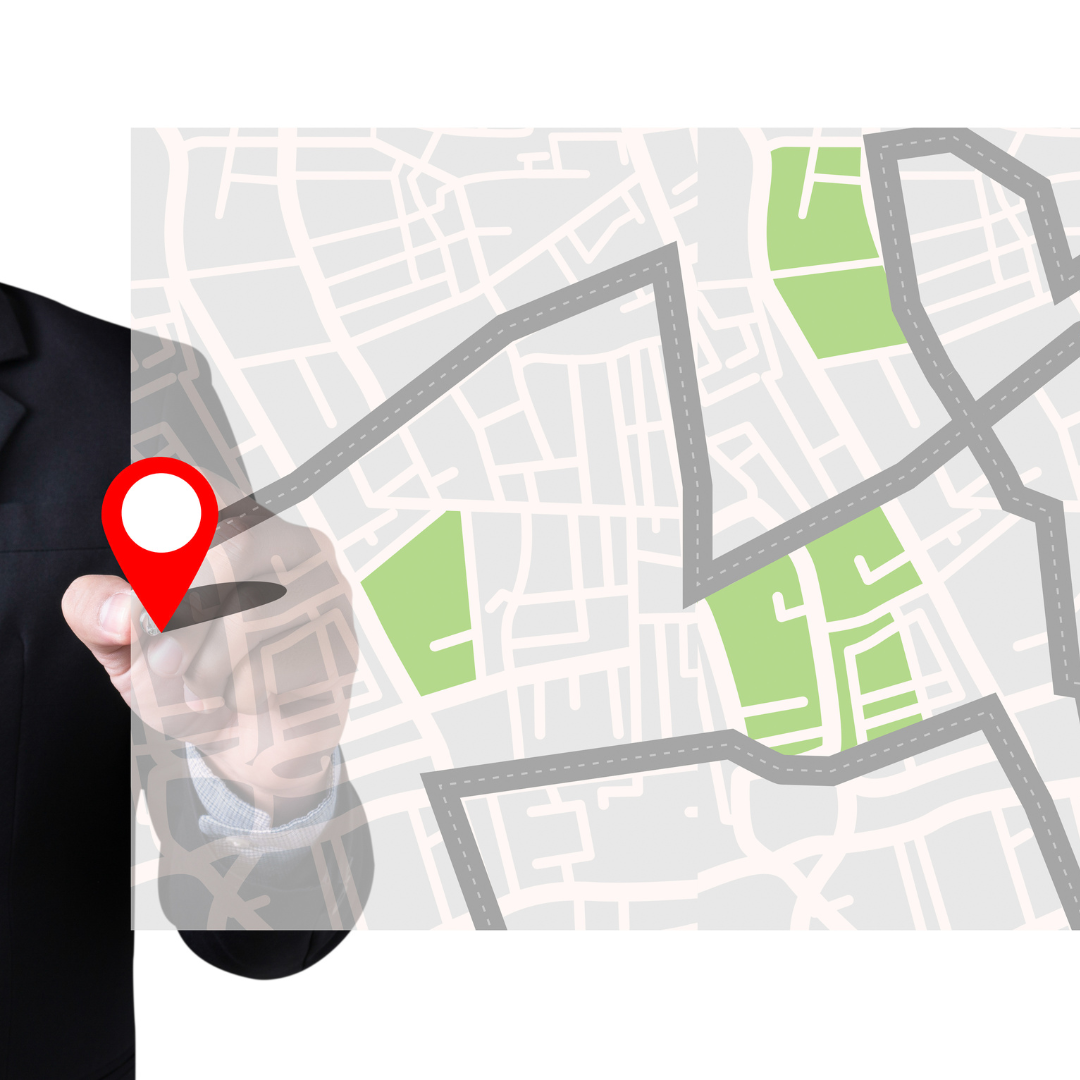
Google Maps is more than just a navigation tool—it’s a powerful app filled with features designed to make travel, exploration, and everyday commuting easier. While most people use it for directions, there are many hidden functions that can enhance your experience. From offline maps to live traffic updates, here are some of the best hidden features of Google Maps that you need to know.
1. Use Google Maps Offline
One of the biggest challenges when traveling is losing internet access. Luckily, Google Maps allows you to download maps and use them offline. Here’s how:
- Open Google Maps and search for the area you need.
- Tap on the location name or address.
- Select Download Offline Map and adjust the map area.
- Once downloaded, you can access it even without an internet connection.
This feature is perfect for road trips, hiking, or traveling abroad where data access may be limited.
2. Find Parking Easily
Struggling to find parking in a crowded city? Google Maps can help. It provides real-time parking availability and even lets you save your parking location so you can find your car later.
- Search for your destination and check the P (parking) indicator to see availability.
- After parking, tap the Blue Dot and select Save Your Parking Spot to mark your location.
This feature is a lifesaver, especially in large parking lots or unfamiliar areas.
3. Check Real-Time Public Transit Updates
If you rely on public transportation, Google Maps can help you avoid unnecessary wait times by showing real-time updates for buses, trains, and subways. It displays estimated arrival times, delays, and alternative routes.
- Enter your destination and tap on the Transit Icon (bus/train symbol).
- Check the live status of public transit, including delays or schedule changes.
This feature ensures you stay on track without surprises.
4. Measure Distance Between Two Points
Need to measure the exact distance between two locations? Google Maps has a built-in tool for that.
- Long press anywhere on the map to drop a pin.
- Tap the pin and select Measure Distance from the options.
- Drag the map and tap another point to measure the distance.
This is useful for planning hikes, biking routes, or even estimating fuel consumption.
5. Explore “Live View” Augmented Reality Navigation
If you ever feel lost in a new city, Google Maps’ Live View feature can help. It uses your phone’s camera to overlay navigation arrows on real-world streets, making it easier to find your way.
- Enter a walking destination and tap Live View in the bottom right.
- Hold your phone up, and Google Maps will show AR arrows guiding you.
This feature is incredibly helpful for navigating complex city streets and unfamiliar areas.
Unlock More with Google Maps
Google Maps is packed with features that go beyond simple directions. Whether you’re saving a parking spot, using offline maps, or exploring augmented reality navigation, these hidden features can make your experience smoother and more efficient. Next time you open the app, try out these tools and make the most of your journey!
